Working with the Australian mining industry since 1995
Wireline Services Group (WSG) is the premier provider of high-quality subsurface geophysics data, servicing the exploration, mining, hydrology, and geotechnical industries in Australia since 1995. We know data—and we know that providing the most precise and insightful data equips our clients with the best chance of making a discovery, getting the resource, and creating safer workplaces. With experience across a range of commodities including Gold, Nickel, Lithium, Uranium, and more, we offer solutions to cater to your needs no matter the environment. Whether you are in the discovery phase, resource definition, or digging deeper to understand the structure of hydrologic flow, we have an application for you. WSG has experienced logging engineers qualified for mine site operations in the most challenging environments, while our local data team includes geoscientists focused on quality control and interpretative solutions for our clients. Working in collaboration with our clients, we provide rapid and precise data for smarter decisions. We’re reliable and flexible when it comes to getting you the data you need, in the safest possible way. We work with some of the world’s largest mining companies, bringing a competitive edge and professional service to every project. Leveraging global experience—supporting clients in Canada since 2012—for orebody knowledge that makes a difference, Wireline Services Group is the first choice in our industry.
Forged in tough terrain.
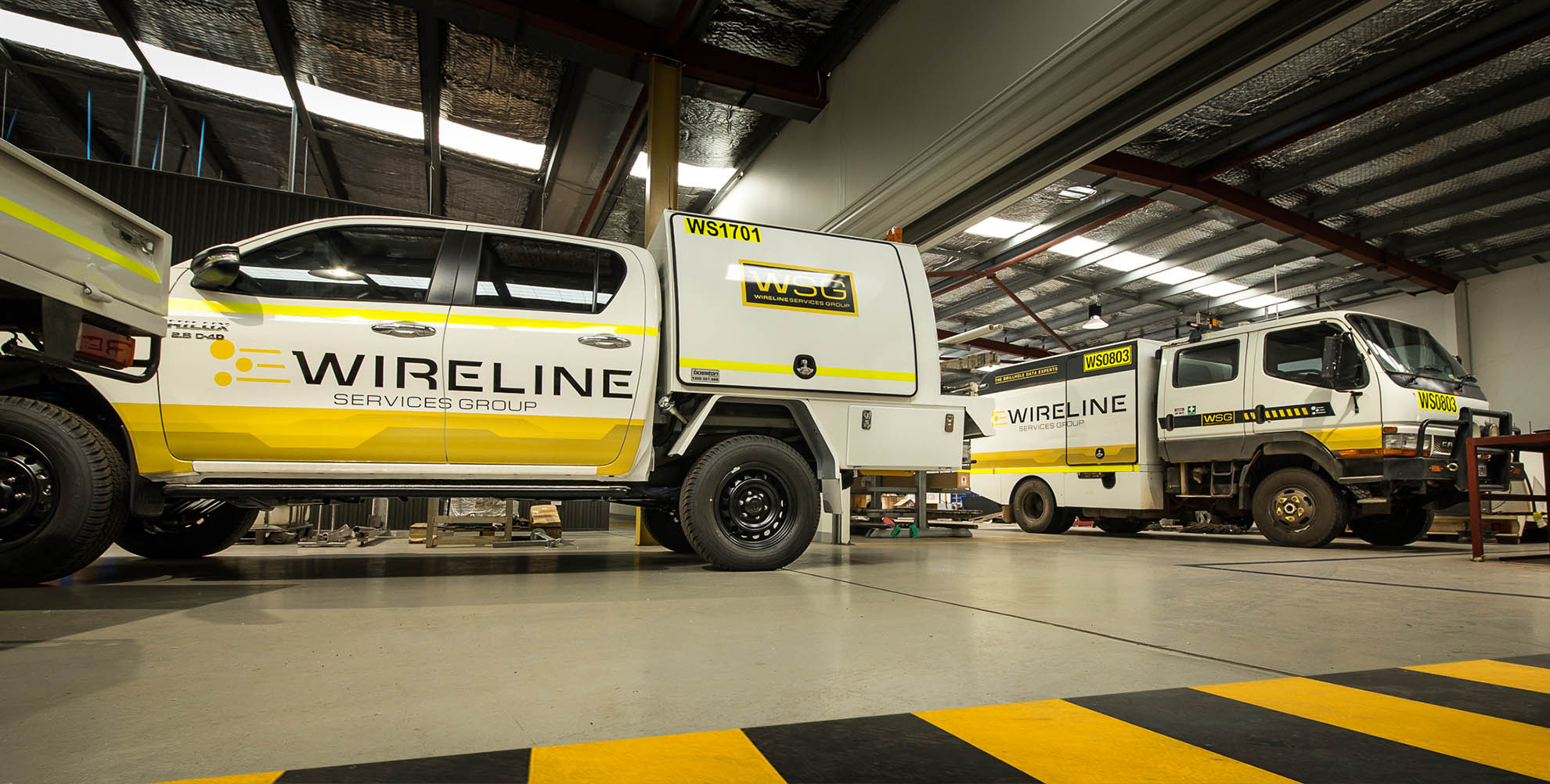
WSG has experience working in challenging terrain and the harshest of environments from the Canadian arctic to the Australian desert. The company offers a variety of logging units suitable for any environment, ranging from F350 4×4 logging trucks and off-road UTV units, underground solutions and helicopter sling units.
Fast acquisition of field data where ever your project is located.
Discovery & Characterisation
- Ore body mapping
- JORC compliant density modelling
- Grade Control
- Equivalent Dry Bulk Density modelling
- Ore body vectoring
- Grade Control
Groundwater Solutions
- Moisture mapping
- Water quality
- Well monitoring
- Porosity and permeability
- Brine characterisation
- Hydraulic conductivity
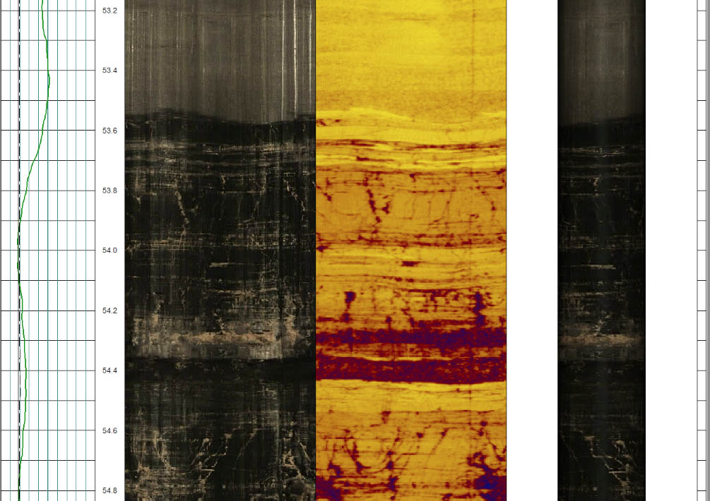
Geotechnical & Televiewer (Image) Analysis
- Structure characterisation/mapping
- In-situ stress analysis
- Core orientation
- Vein & contact orientation & tracking
- Paste hole and backfill inspections
Casing Integrity
- Cement Bond Analysis
- Casing Integrity

Our Geophysical Tool Suite
- Optical and Acoustic Televiews
- Full wave sonic
- Radar
- Resistivity / Conductivity / SP
- Induced Polarity
- Magnetic Susceptibility
- Density (in-rod and open hole)
- Spectral Gamma and Triple Gamma
- Directional (in-rod and open hole)
- Gamma (in-rod and open hole)
- Flowmeters