
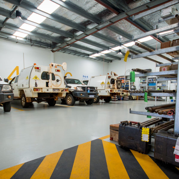
Wireline Services Group has acquired data from over 10 million meters of drilling across three continents. We have crews experienced in underground, surface, barge-based and helicopter-supported drillhole data acquisition.
World-Class Drillhole Data Acquisition Equipment
Our extensive suite of tools and equipment facilitate the precise acquisition and analysis of data.
We offer a versatile range of data acquisition platforms from ATV mounted to man-portable. We’re able to provide downhole solutions to depths of 2,200m and offer vertical, horizontal or up hole directional surveying.
Combining cutting-edge technology with strong cross-industry knowledge, we are able to conduct drillhole data acquisition anywhere in the world. From there we conduct thorough data analysis tailored to the requirements of each project. Using this data, our clients can de-risk their venture and make informed decisions that will maximise their successes.
Our drillhole data acquisition techniques range from surveying and visualisation, to extracting information about rock properties and groundwater characterisation. We conduct vertical, horizontal and uphole surveying, and can provide downhole solutions at depths of over 2km. This is achievable through the deployment of the latest tools and technology by world-class geologists and geophysicists.