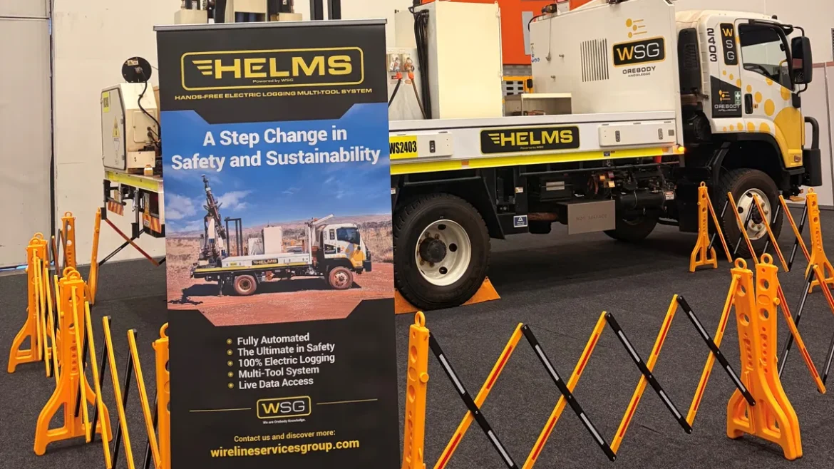
WSG’s HELMS (Hands-Free Electric Logging Multi-Tool System) represents a groundbreaking shift in how borehole logging is performed. Safer, smarter, and fully automated for the challenges of remote field operations.
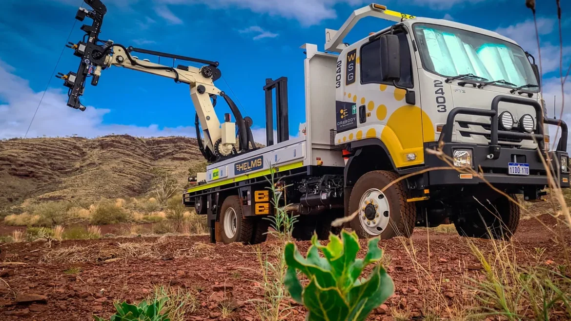
What began as a bold internal concept has rapidly evolved into a fully operational automated logging vehicle, now deployed with clients across Western Australia’s Pilbara.
Across industry events, engineering milestones, and the opening of our new home at the AARP (The Australian Automation and Robotics Precinct – https://www.theaarp.com.au/ ), the HELMS story is growing fast.
We’ve pulled together the full journey so far, the breakthroughs, the big moves, and the moments that shaped HELMS. Explore the full HELMS timeline below.
2023–2024: Concept Development & Early Engineering
The foundation of HELMS began with a simple objective: reduce safety exposure, improve efficiency, and modernise the traditional logging processes through automation.
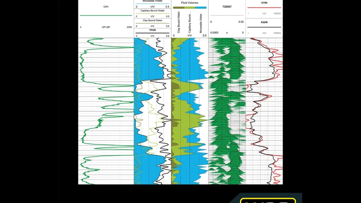
WSG’s engineering and geoscience teams began designing a fully electric, hands-free system capable of operating across complex terrain while delivering high-quality live data.
Internal prototyping, trials, and cross-disciplinary workshops set the stage for what would become WSG’s largest automation initiative to date.
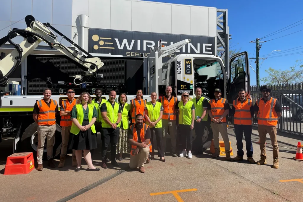
Mid 2025: Field Testing, Team Collaboration & Industry Engagement
The HELMS truck completed a successful six-month trial in the Pilbara, driven by strong client demand and a commitment to improving on-site productivity.
This trial period allowed our team to work closely with our client in real operational conditions, refine system capabilities, and strengthen cross-team collaboration, setting the foundation for broader industry engagement in the months that followed.
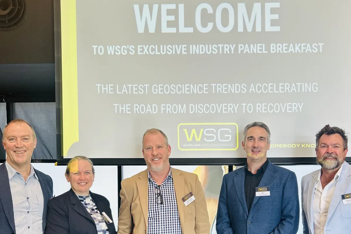

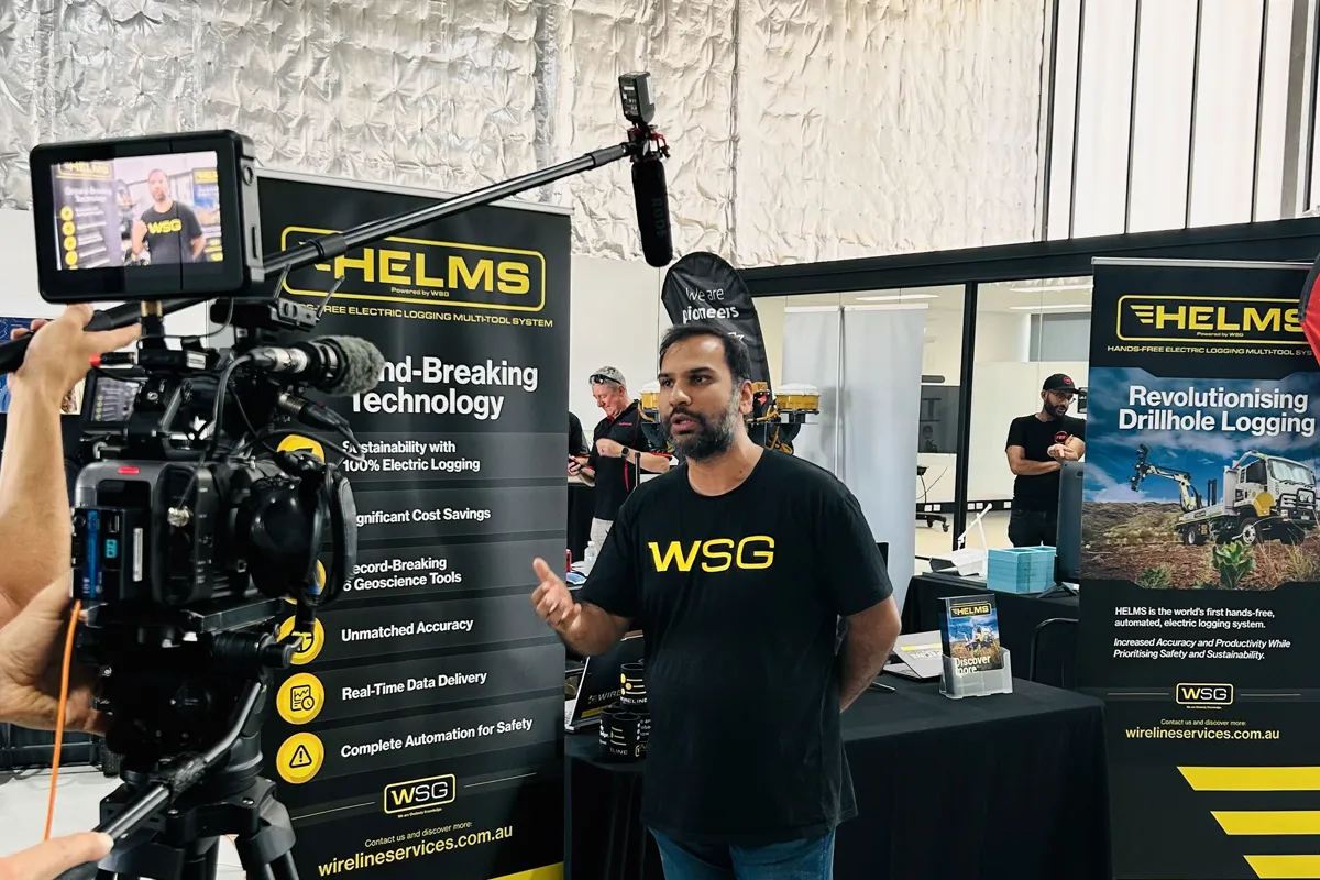
September 2025: HELMS Unveiled at WSG’s AEGC Panel Breakfast
At WSG’s Industry Panel Breakfast seminar “The Latest Geoscience Trends: Accelerating the Road from Discovery to Recovery” the HELMS was officially unveiled.
Hosted by Barry Bourne (Terra Resources), the event brought together industry leaders to discuss automation, live data, and innovation in geoscience.
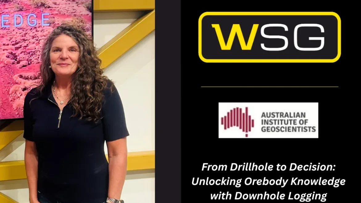
Expert panellists Andrew Fitzpatrick (Paladin Energy), Jared Townsend (BHP), and Jennifer Market (WSG) provided insights into shifting industry capabilities.
Here the panel audience saw a video of the HELMS in action on a client’s Pilbara mine site.

Late 2025: Move to the Australian Automation & Robotics Precinct (AARP)
A major step forward came when WSG’s engineering department officially moved into the Australian Automation & Robotics Precinct, a world-class test hub for robotics, automation, and zero-emissions technology.
In between client projects in the Pilbara, the engineering teams collaborated at the AARP to capture the vehicle in action, documenting test runs, refining workflows, and continually enhancing the automation capability of the six -tool system.
With access to advanced workshops, test beds, and collaborative spaces, the HELMS team have enjoyed the benefits offered by the state-of-the-art facility.
End of 2025: The HELMS Is Off Again!
As the year wraps up, the HELMS unit is heading back out to site, continuing its role in supporting client operations and driving productivity gains. After a successful year of trials, demonstrations, and industry engagement, the return to the field marks another exciting chapter, bringing enhanced capability, valuable insights, and continued momentum into 2026.
Looking Ahead
The HELMS journey is far from over.
The future focus includes continually listening to client feedback to expand deployment across Australia. With ongoing development at the AARP, client deployments, and new auxiliary technologies in the pipeline, HELMS continues to evolve as one of the industries leading automation projects.